

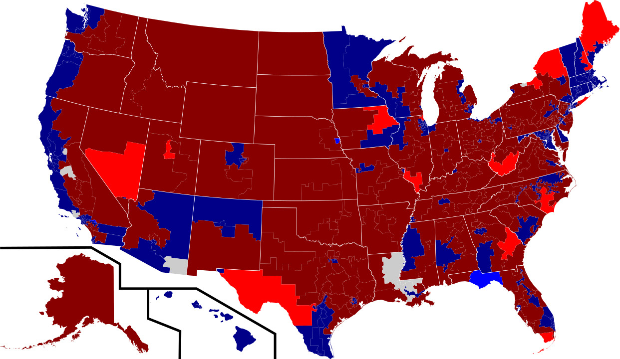
If you’re a political junkie — or at least if you’re a conservative political junkie — you’ve probably seen the map. It’s a map of the United States showing the congressional districts won by Republicans in red and those won by Democrats in blue.
It looks almost entirely red, except for some pinpoints of blue in major metropolitan areas and a few blue blotches here and there — in Minnesota, northern New Mexico and Arizona, western New England, along the Pacific Coast.
Real journalism.Trusted by millions.
Unlimited access to in-depth reporting, expert analysis, and the stories that shape our country.
Subscribe Now
Already a member? Log in
Print subscriber? Click here to login/register your account
Digital subscriber? Click here to login/register your account.
