

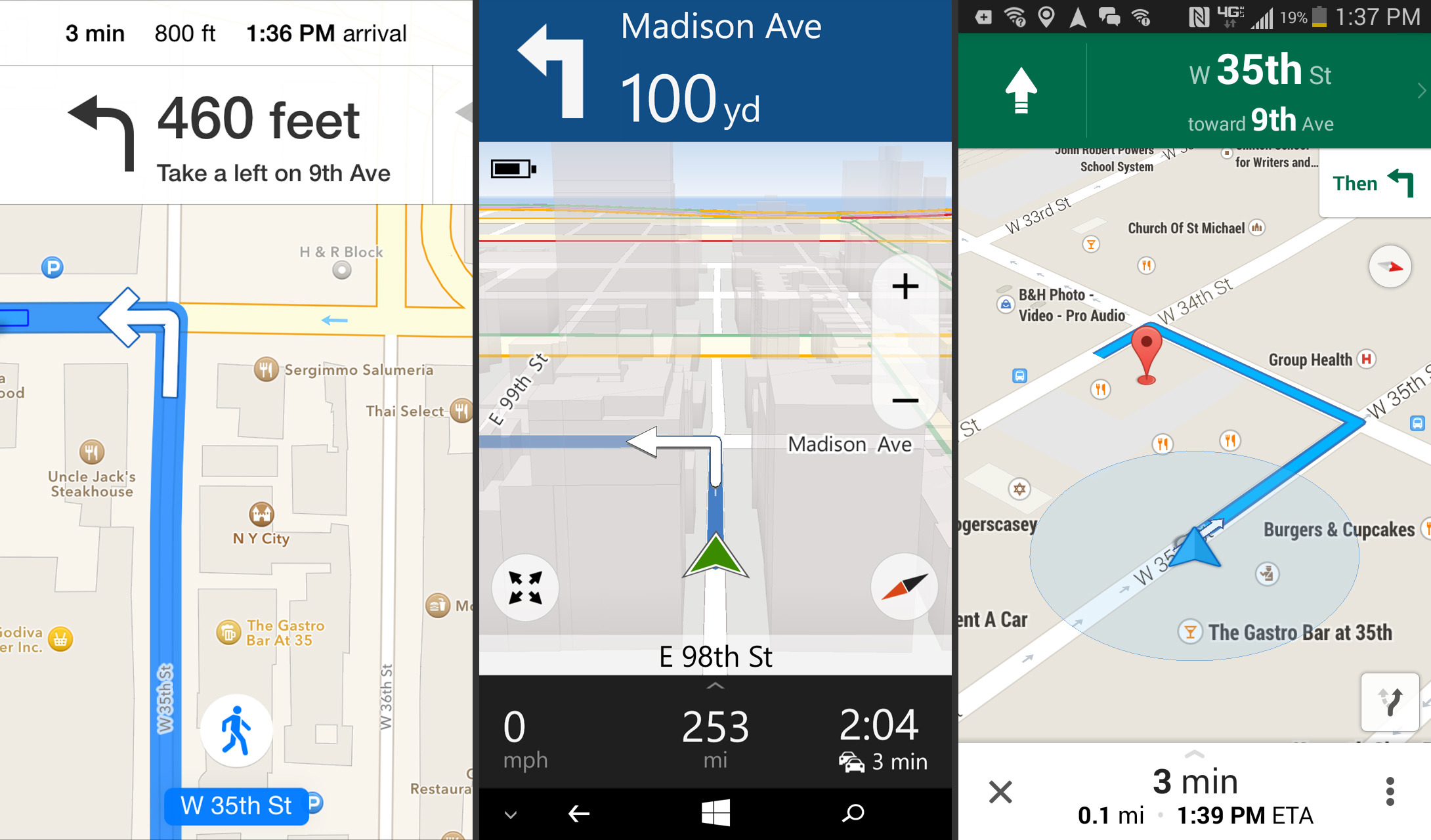
CHICAGO (AP) — Many people use smartphone apps to map their drive to dinner or find a less-congested route to work. But did you know that you can use them for public transit, too? You can even access some maps offline, when you have a spotty connection or are in the subway.
Here’s a look at what leading free map apps can do for you, whatever mode of transportation you choose:
Stay informed.Stay ahead.
Join Washington Examiner for unlimited access to the news, analysis, and commentary that matter most.
See Options
Already a member? Log in
Already a print subscriber? Click here to login/register your account
