
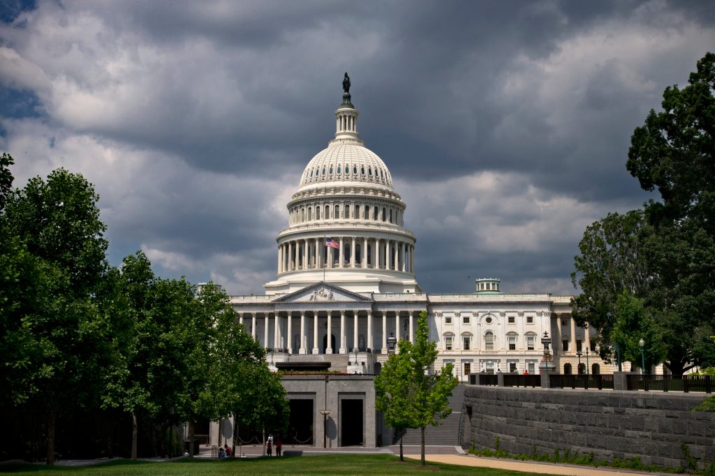
Federal officials don’t know how many billions of dollars they spend every year duplicating each other’s collection programs for geographic mapping data such as satellite images, building identities and footprints, street addresses and a host of other characteristics.
Such information, known as “geospatial data,” represents more than 80 percent of all federal data produced by agencies and is used for tasks ranging from tracking wildfires to viral disease outbreaks. The problem, according to the Government Accountability Office, is federal departments and agencies don’t coordinate their data collection to avoid overlap, and don’t have a management handle on related spending.
Recommended Stories


Print subscriber? Click here to login/register your account
Digital subscriber? Click here to login/register your account.