The National Weather Service predicts Presidents Day to be full of low-temperature winter storms across the country.
“Temperatures will be 10 to 20 degrees below average over the Northern Tier States by Monday morning,” NWS reported Saturday. The lower temperatures will remain through Tuesday before they drop even lower. Meanwhile, the Cascade range in Northern California will see heavy snowfall from Sunday through Tuesday.
Recommended Stories


“A couple of potent systems will create winter storm impacts the next few days across the U.S. Moderate/major issues from snow/ice are expected across the Upper Midwest to parts of the Great Lakes, while some impacts are likely in the West with a system digging down the West Coast,” NWS tweeted Sunday.
SQUALL OVER THE PLACE: SNOW BLANKETS FOUR NORTHEASTERN STATES
A couple of potent systems will create winter storm impacts the next few days across the U.S. Moderate/major issues from snow/ice are expected across the Upper Midwest to parts of the Great Lakes, while some impacts are likely in the West with a system digging down the West Coast pic.twitter.com/mkr3aNjkYm
— National Weather Service (@NWS) February 20, 2022
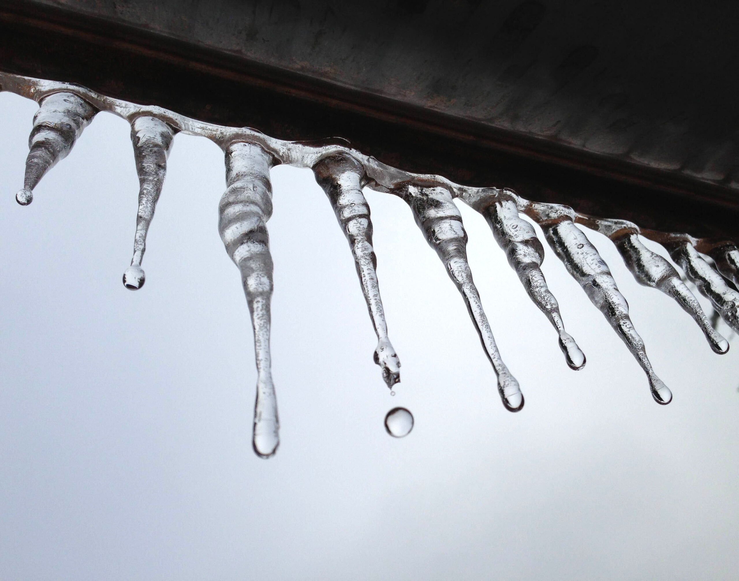
The service is also predicting rainstorms across the Midwest into the South from Monday into Tuesday. The Great Lakes region is likely to get freezing rain.
“A long duration winter storm will bring a mixture of snow, sleet, and freezing rain to portions of the Plains and Great Lakes starting this evening. Total snowfall will likely exceed 6″, with more than 12″ possible is some areas,” the NWS Prediction Center tweeted. “Locally significant icing will also be a threat.”
A long duration winter storm will bring a mixture of snow, sleet, and freezing rain to portions of the Plains and Great Lakes starting this evening. Total snowfall will likely exceed 6″, with more than 12″ possible is some areas. Locally significant icing will also be a threat. pic.twitter.com/RER4xj6Dma
— NWS Weather Prediction Center (@NWSWPC) February 20, 2022
CLICK HERE TO READ MORE FROM THE WASHINGTON EXAMINER
Following Tuesday, temperatures will drop further to 30 to 40 degrees below what’s typical along the Northern Tier states.