
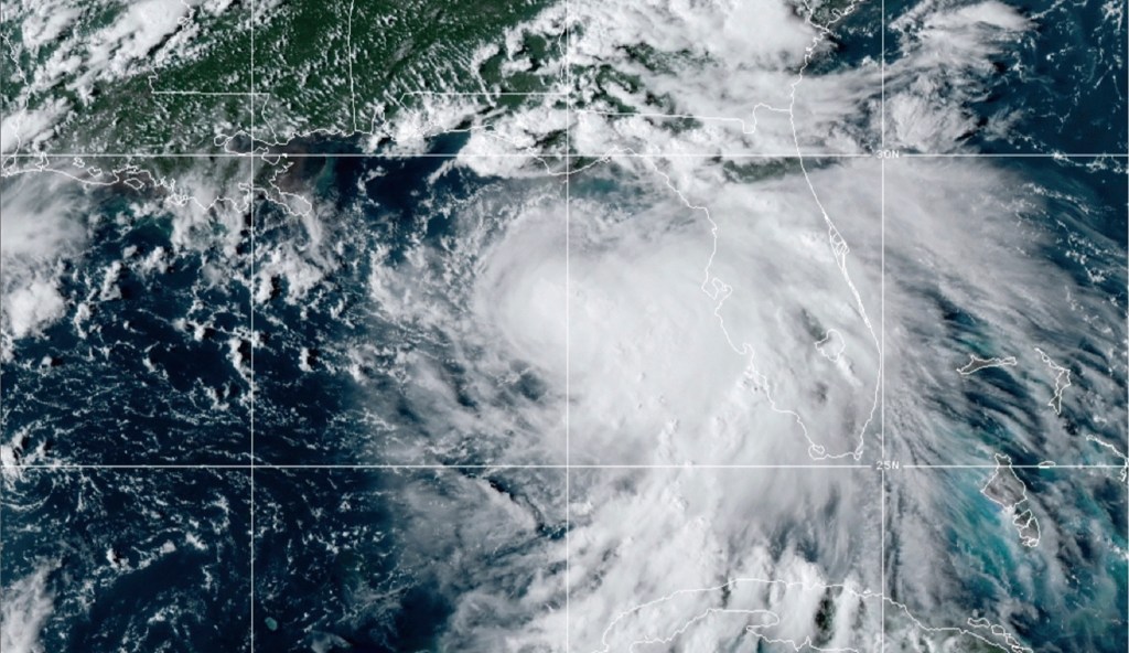
MOBILE, Alabama — For those of us on the central Gulf Coast, the ritual of tracking hurricanes involves a strange psychological tug of war between “been-there/done-that” disdain and a just-beneath-the-surface feeling of gnawing nervousness.
Modern meteorologists have become so accurate so often with storm-track forecasts that sometimes, we ignore their warnings that these tempests can change rapidly. If, five days from landfall, we in Mobile are told the quite likely track is for the eye to aim at New Orleans, 150 miles west-southwest of us, with maximum likely sustained winds of a weak Category 1 storm (about 75 miles per hour), we tend to shrug.
Recommended Stories



Print subscriber? Click here to login/register your account
Digital subscriber? Click here to login/register your account.