
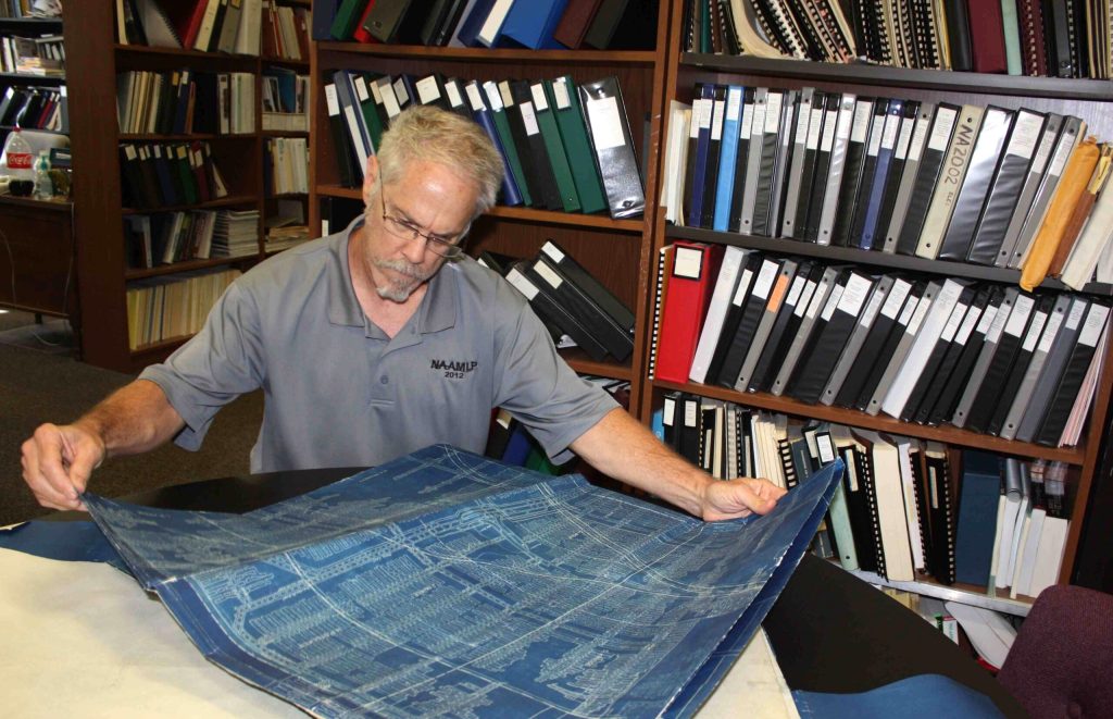
CHICAGO (AP) — State officials are seeking the public’s help to find old maps of long-closed underground coal mines.
The maps help determine whether an area is a risk of subsidence — holes or sagging that can damage homes and other buildings, like a southern Illinois school that had to be rebuilt five years ago.
Recommended Stories



Print subscriber? Click here to login/register your account
Digital subscriber? Click here to login/register your account.