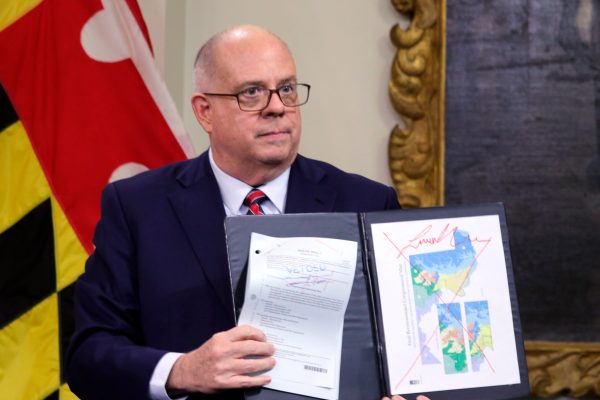
SILVER SPRING, Maryland — I live in Maryland, and I closely follow Maryland politics. That’s how I know that my congressional district is part of an absurd gerrymander that stretches from the Washington, D.C., border to the Pennsylvania border, thanks to a 12-mile strand of mostly parkland that at multiple places is only 2,000 feet across. And this is far from the most absurd district in my state. Here’s the wildest one.

I also know that an official nonpartisan commission drew a good map reflecting the new census data, and that Democrats in the state Legislature tossed that good map in favor of a slightly altered map that gives them a chance to have all eight congressional seats in Maryland. This state has elected a Republican governor twice in a row, where one-third of the voters are reliable Republicans, and where there are two distinctively conservative regions, each with enough population to make up most of a congressional district.