
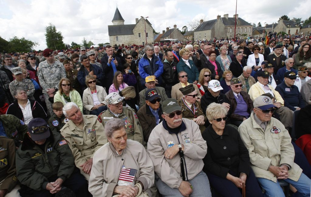
Pointe du Hoc on Normandy’s northern coast was D-Day’s “high ground.”
The promontory’s 30-meter high cliffs overlooked two long and relatively flat “beach zones” capable of handling large amphibious landing ships. The beach to the northwest is now best known by its D-Day code name, Utah. The beach due east — which connects to the narrow shelf below Pointe du Hoc’s cliffs — Allied planners dubbed Omaha.
Recommended Stories



Print subscriber? Click here to login/register your account
Digital subscriber? Click here to login/register your account.